Meme Weeding: Los Angeles Density
If you’re the kind of total nerd that looks up tables on Wikipedia for fun, you may notice a peculiarity: the American built-up area with the highest population density is Los Angeles, followed by the Bay Area and New York. This is not what anyone experiences from even a slight familiarity with the two cities. Some people leave it at that and begin to make “well, actually Los Angeles is dense” arguments; this is especially common among supporters of cars and suburbs, like Randall O’Toole, perhaps because they advocate for positions the urbanist mainstream opposes and enjoy the ability to bring up an unintuitive fact. Others instead try to be more analytic about it and understand how Los Angeles’ higher headline density than New York coexists with its actual auto-centric form.
The answer that the urbanist Internet (blogs, then the Census Bureau, then Twitter) standardized on is that the built-up area of New York has some really low-density outer margins, where auto use is high, but the dense core is larger than that of Los Angeles. Here’s a log graph made by longtime Twitter follower Neil Patel:

New York’s 70th percentile of density (shown as 30 on the graph’s y-axis) is far denser than that of the comparison cities. The term the urbanist blogosphere defaulted to is “weighted density,” which is the average density of census tracts weighted by their population rather than area; see original post by the Austin Contrarian, in 2008.
But one problem remains: Los Angeles is by any metric still dense. Neil’s chart above shows its density curve Lorenz-dominating those of Chicago and Washington, both of which have far higher transit usage. Unfortunately, I haven’t seen too much analysis of why. Jarrett Walker talks about Los Angeles’s polycentrism, comparing it with Paris, and boosting it as a positive for public transit. The reality is the opposite, and it’s worth delving more into it to understand why whatever density Los Angeles has fails to make it have even rudimentary public transit.
Yes, Los Angeles is auto-oriented
The “well, actually Los Angeles is not autopia” line faces a sobering fact: Los Angeles has practically no transit ridership. In this section, I’m going to make some comparisons among American metropolitan statistical areas (MSAs); these exclude many suburbs, including the Inland Empire for Los Angeles and Silicon Valley for San Francisco, but Neil’s graph above excludes them as well, because of how the US defines urbanized areas. In the following table, income refers to median income among people driving alone or taking public transit, and all data is from the 2017 American Community Survey (ACS).
| Place | Workers | Drive share | Drive income | Transit share | Transit income |
| US | 152,802,672 | 76.4% | $38,689 | 5% | $37,530 |
| New York | 9,821,147 | 50% | $48,812 | 31% | $44,978 |
| San Francisco | 2,371,803 | 57% | $54,923 | 17.4% | $62,500 |
| Washington | 3,320,895 | 66.4% | $53,390 | 12.8% | $60,420 |
| Chicago | 4,653,591 | 70% | $41,817 | 12.2% | $46,796 |
| Los Angeles | 6,434,177 | 75.4% | $39,627 | 4.8% | $21,153 |
The income numbers are not typos. In San Francisco, Washington, and Chicago, transit users outearn drivers. In New York the incomes are close, and US-wide they are almost even. But in Los Angeles, drivers outearn the few transit users almost 2:1. It’s not because Los Angeles has better transit in poor neighborhoods than in rich ones: this may have been true for a long while, but with the Expo Line open to Santa Monica, the Westside has bare bones coverage just like the rest of the city. Even with the coverage that exists, public transit in Los Angeles is so bad that people only use it if they are desperately poor.
When public transportation is a backstop service for the indigent, ridership doesn’t follow the same trends seen elsewhere. Transit ridership in Los Angeles rises and falls based on fares; new rail extensions, which have led to big gains in ridership in Seattle and Vancouver, are swamped by the impact of fare changes in Los Angeles. Gentrification, which in New York has steadily raised subway usage in hotspots like Williamsburg and which does the same in San Francisco, has instead (slightly) contributed to falling transit usage in Los Angeles (p. 53).
Job density and CBD job share
Los Angeles has high residential density by American standards – lower than in New York counted properly, but comparable to San Francisco, and higher than Chicago and Washington. However, job density tells a completely different story. New York, Chicago, San Francisco, and Washington all have prominent central business districts. Without a consistent definition of the CBD, I am drawing what look like the peak employment density sites from OnTheMap, all as of 2015:
| Place | CBD boundaries | Area | Jobs | MSA share | Density |
| New York | 33rd, 3rd, 60th, 9th | 3.85 | 825,476 | 8.4% | 214,336 |
| San Francisco | Washington, Powell, 5th, Howard, Embarcadero | 1.81 | 224,010 | 9.4% | 123,558 |
| Washington | Rock Creek, P, Mass., 7th, Cons., 14th, H | 3.26 | 240,505 | 7.2% | 73,775 |
| Chicago | River, Congress, Michigan, Randolph, Columbus | 1.61 | 368,910 | 7.9% | 228,998 |
| Los Angeles | US 110, US 101, Alameda, 1st, Main, 7th | 2.11 | 189,767 | 2.9% | 89,937 |
The two main indicators to look for are the rightmost two columns: the percentage of jobs that are in the CBD, and the job density within the CBD. These indicators are highly not robust to changing the CBD’s definition, but expanding the definition moves them in opposite direction. Washington and San Francisco can be boosted to about 400,000 jobs each if the CBD is expanded to include near-CBD job centers such as Gallery Place, L’Enfant Plaza, SoMa, and Civic Center. Manhattan south of 60th has 1.9 million jobs in 22.2 km^2. Even in Chicago, where job density craters outside the Loop, the 9 km^2 bounded by Chicago, Halsted, and Roosevelt have 567,000 jobs. In making the tradeoff between job density and MSA share, I tried to use smaller CBD definitions, maximizing density at the expense of MSA share.
But even with this choice, the unusually low CBD share in Los Angeles is visible. This is what Jarrett and others mean when they say Los Angeles is polycentric: it is less dominated by its central business district than New York, Chicago, Washington, and San Francisco.
However, the comparisons between Los Angeles and Paris are wildly off-base. I am not including Paris in my above table, because INSEE only reports job numbers at the arrondissement level, and the city’s CBD straddles portions of the 1st, 2nd, 8th, and 9th arrondissements. Those four arrondissements total 405,189 jobs in 8.88 km^2, but in practice few of these jobs are in the outer quartiers, so a large majority of these jobs are in the central 4.64 km^2. The overall job density is then comparable to that of the Los Angeles CBD, but the similarity stops there: CBD employment is 7.1% of the total for Ile-de-France. If there is a US city that’s similar to Paris on the two CBD metrics of density and employment share, it’s Washington, not coincidentally the only big American city with a height-limited city center.
Secondary centers
In all of the American cities I’m comparing in this post except New York, the share of the population using public transit to get to work is not much higher than the share working in the CBD, especially if we add in near-CBD job centers served by public transit like Civic Center and L’Enfant Plaza (and all of the Manhattan core outside Midtown). This is not a coincidence. Outside a few distinguished locations with high job density, it’s easy enough to drive, and hard to take the train (if it even exists) except from one or two directions.
American cities are distinguished from European ones in that their non-CBD employment is likely to be in sprawling office parks and not in dense secondary centers. Paris is polycentric in the sense of having multiple actual centers: La Defense is the most conspicuous outside the CBD, but the city is full of smaller, lower-rise clusters: the Latin Quarter, Bercy, the Asian Quarter, Gare du Nord, the Marais. The 3rd, 4th, 5th, 6th, 7th, 10th, and 12th all have around 20,000-25,000 jobs per square kilometer, not much less than the Upper East Side (which has about 120,000 jobs between 60th and 96th Streets).
A polycentric city needs to have multiple actual centers. Does Los Angeles have such centers? Not really. Century City has 33,000 jobs in about 1.1 km^2. Here is the city’s second downtown, with a job density that only matches that of central Parisian neighborhoods that nobody would mistake with the CBD. The UCLA campus has around 15,000 jobs. Downtown Santa Monica has 24,000 in 2 km^2. El Segundo, which Let’s Go LA plugs as a good site for CBD formation, has 52,000 jobs in 5.2 km^2. Downtown Burbank has about 13,000 in 0.6 km^2. The dropoff in commercial development intensity from the primary CBD is steep in Los Angeles.
What Los Angeles has is not polycentric development. Paris is polycentric. New York is fairly polycentric, with the growth of near-CBD clusters like Long Island City, in addition to older ones like Downtown Brooklyn and Downtown Newark. Los Angeles is just weak-centered.
The structure of density
In his original posts about weighted density from 2008, Chris noted not just the overall weighted density of an American urban area but also the ratio of the weighted to standard density. This ratio is highest in New York, but after New York the highest ratios are in other old industrial cities like Boston and Chicago. This ratio is in stronger correlation with the public transit modal share than weighted density. Much of this fact is driven by the fact that Boston, Chicago, and Philadelphia have high-for-America transit usage and Los Angeles doesn’t, but it still suggests that there is something there regarding the structure of density.
In Chicago and Washington, the population density is low, but it follows a certain structure, with higher density in central areas and in distinguished zones near train stations. These structures are not identical. Chicago has fairly uniform density within each city neighborhood, and only sees this structure in the suburbs, which are oriented around commuter rail stations, where people take Metra to the city at rush hour (and drive for all other purposes). In contrast, in Washington commuter rail is barely a footnote, whereas Metro drives transit-oriented development in clusters like Arlington, Alexandria, Silver Spring, and Bethesda. In these islands of density, the transit-oriented lifestyle is at least semi-plausible.
Paris has fairly uniform density within the city, but it has strong TOD structure in the suburbs: high density within walking distance of RER stations, lower density elsewhere. Some RER stations are also surrounded by job clusters oriented toward the train station: La Defense is by far the biggest and best-known, but Cergy, Val d’Europe and Marne la Vallee, Issy, Noisy, and Saint-Denis are all walkable to job centers and not just housing. Within the city there is no obvious structure, but the density is so high and the Metro so ubiquitous that transit serves the secondary nodes well.
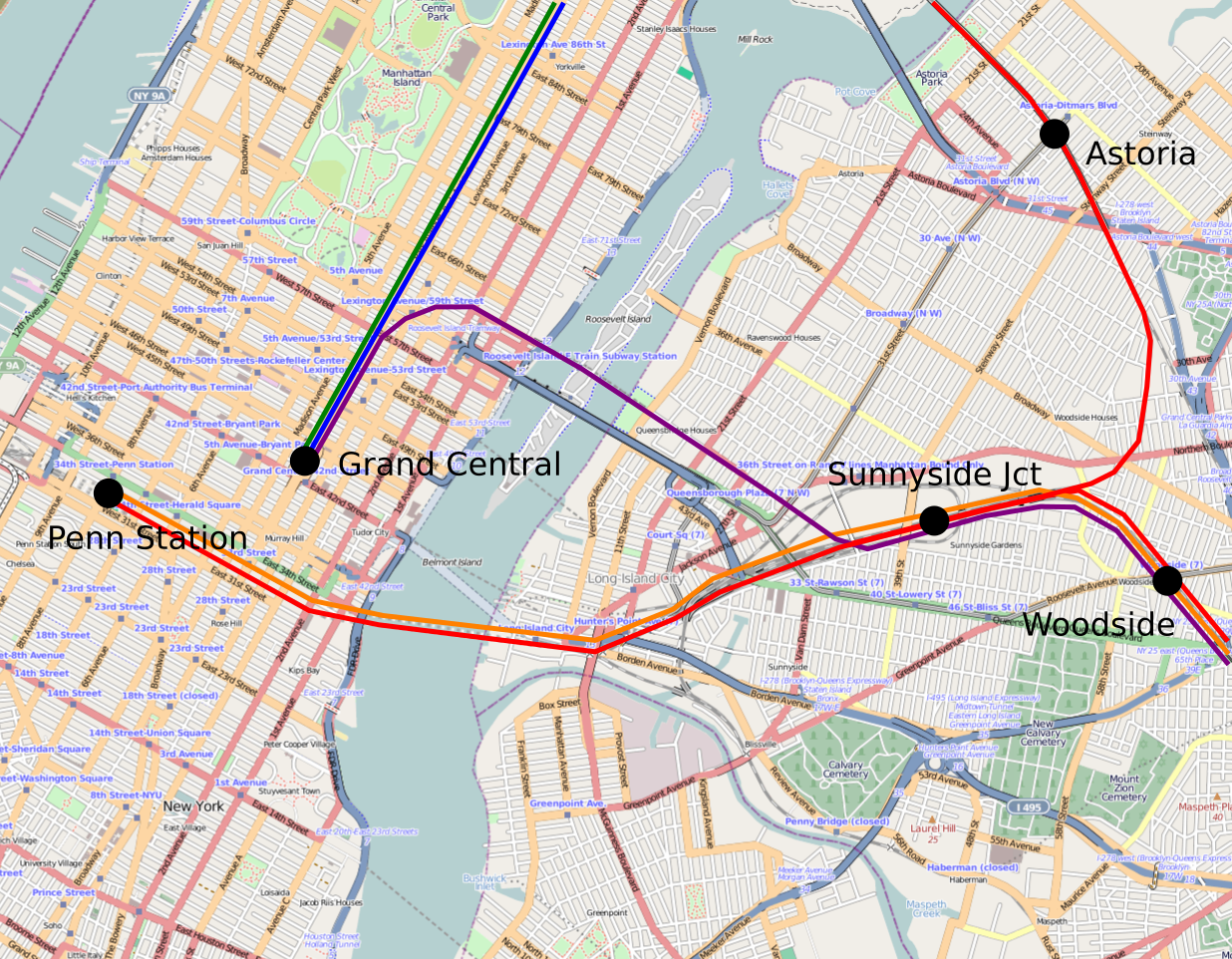
In Los Angeles, there is no structure to density. There are some missing middle and mid-rise neighborhoods, but few form contiguous blobs of high density that can be served by a rapid transit line. Koreatown is in a near-tie with Little Osaka for highest population density in the United States outside New York, but immediately to its west, on the Purple Line Extension, lie kilometers of single-family sprawl, and only farther west on Wilshire can one see any density (in contrast, behind Little Osaka on Geary lies continuous density all the way to the Richmond). With the exception of Century City, UCLA, and Santa Monica, the secondary centers don’t lie on any obvious existing or current transit line.
With no coherent structure, Los Angeles is stuck. Its dense areas are too far away from one another and from job centers to be a plausible urban zone where driving is not necessary for a respectable middle-class lifestyle. Buses are far too slow, and trains don’t exist except in a handful of neighborhoods. Worse, because the density is so haphazard, the rail extensions can’t get any ridership. The ridership projection for the Purple Line Extension is an embarrassing 78,000 per weekday for nearly 15 km and $8.2 billion. The construction cost is bad, but in a large, dense city should be offset by high ridership (as it is in London); but it isn’t, so the projected ridership per kilometer is on a par with some New York City Transit buses and the projected cost per rider is so high that it is usually reserved for airport connectors.
The way out
In a smaller, cheaper auto-centric city, like Nashville or Orlando, I would be entirely pessimistic. In Los Angeles there is exactly one way out: fix the urban design, and reinforce it with a strong rail network.
The fact that this solution exists does not mean it is politically easy. In particular, the region needs to get over two hangups, each of which is separately nearly insurmountable. The first is NIMBYism. Los Angeles is so expensive that if it abolishes its zoning code, or passes a TOD ordinance that comes close to it, it could see explosive growth in population, which would be concentrated on the Westside, creating a large zone of high density in which people could ride the trains. However, the Westside is rich and very NIMBY. Metro isn’t even trying to upzone there: the Purple Line Extension has a 3.2-km nonstop segment from Western to La Brea, since the single-family houses in between are too hard to replace with density. Redeveloping the golf courses that hem Century City so that it could grow to a real second downtown is attractive as well, but even the YIMBYs think it’s unrealistic.
The second obstacle is the hesitation about spending large amounts of money all at once. American politicians are risk-averse and treat all spending as risk, and this is true even of politicians who boldly proclaim themselves forward-thinking and progressive. Even when large amounts of money are at stake, their instincts are to spread them across so many competing goals that nothing gets funded properly. The amount of money Los Angeles voters have approved to spend on transportation would build many rapid transit lines, even without big decreases in construction costs, but instead the money is wasted on showcasing bus lanes (this is Metro’s official blog’s excuse for putting bus lanes on Vermont and not rapid transit) or fixing roads or the black hole of Metro operating costs.
But the fact that Los Angeles could be a transit city with drastic changes to its outlook on development and transportation investment priorities does not mean that it is a transit city now. Nor does it mean that the ongoing program of wasting money on low-ridership subway lines is likely to increase transit usage by the required amount. Los Angeles does not have public transportation today in the sense that the term is understood here or in New York or even in Chicago. It should consider itself lucky that it can have transit in the future if it implements politically painful changes, but until it does, it will remain the autopia everyone outside urbanism thinks it is.