American and British discourses on public transportation are too obsessed with getting regular funding. In the United States, it’s a commonplace among advocates that what the mode really needs is a regular source of funding protected from the usual political process. American thinktanks trying to talk about construction costs, such as Eno, even spoke with fascination about the bipartisan consensus in favor of expanding the Madrid Metro, in contrast with the American situation. In the United Kingdom, it’s specialized to some aspects and their construction costs, but the “feast or famine” line on electrification is particularly common. In truth, there’s quite a lot of funding regularity and political consensus in parts of the United States and United Kingdom that nonetheless cannot build anything, and conversely, some of the most prolific, lowest-cost builders in the world do so in an environment of funding uncertainty, especially when we consider the effect of the Great Recession.
Spain in the 21st century
The very low-cost metro construction program in Madrid under Manuel Melis Maynar in 1995-2003 is well-known to both academic researchers and advocates, and Melis’s own writeup on how this was achieved is a starting point for the entire discourse. This program, going back earlier in the 1990s and continuing right up until the 2008 financial crisis and the onset of the Great Recession, was marked by political competition between the left and the right over who could deliver more metro construction, and consistent commitment to building more infrastructure across Spain. At national scale the later part of this period is characterized by rapid, low-cost construction of high-speed rail building upon the success of the Madrid-Seville line (opened 1992). This was not a purely rail-based system – airports were expanded rapidly in the 2000s to accommodate the growing economy and growing international travel market.
And then all of this crashed after 2008. Some lines were still built if funded before – close to half of Spanish high-speed rail by funding is lines that opened post-2008, nearly all well underway when the recession set in. Other lines were canceled, some of which have not been restored, such as Madrid-Lisbon. Barcelona kept building L9 and L10, the most expensive in Spain, but Madrid’s construction program broadly wrapped up. I encourage readers to go to Alexander Rapp’s visualization and compare the rapid growth in 1995-2010 with the almost total lack of new lines in 2010-2025. If there’s one place that meets the definition of feast-or-famine, it must be Spain.
And downstream of the famine, construction costs are still very low. The high-speed rail built through the famine is more expensive, but only because it’s the Basque Y, majority in tunnel due to topography. The metro lines Madrid has built recently are still cheap: the Line 11 extension to Conde de Casal to open next year costs 84 million €/km, only mildly more than the Melis-era program in real terms, the difference largely attributable to the fully-underground character of the extension whereas the Melis-era program was only 73% underground. Feast-or-famine hasn’t dented Madrid’s ability to build cheaply, and so the plan as the economy is finally recovering from the crisis is to resume building rapidly, the entire 33.5 km Line 11 plan budgeted at the same low cost.
Italy and the reset button
Italy’s period of regular construction in the 1960s, 70s, and 80s was initially characterized by low costs for the first Milan lines from the 1950s and early 60s, but these grew quickly, and by 1970 they were if anything higher than in Britain and not much lower than Germany’s, due to the extensive corruption of the First Italian Republic. The 1990s process of mani pulite was such a transformative change that people periodize Italy since then as the Second Italian Republic, with rather different politics from the First, with far less corruption and far more left-right polarization.
In the interim, there was a famine in metro construction as rules were changed to require more transparency. The system that emerged from the famine had lower real costs than that of the 1980s with its corruption. A second famine occurred, to some extent, in the Great Recession, albeit nothing as drastic as in Spain; the Spanish economy was characterized by high growth with a housing bubble in the years leading up to the Great Recession, where Italy in the 1990s and 2000s up to 2008 already had the weakest economic growth in Europe, so in effect there weren’t such massive infrastructure projects to be canceled. The famine is over, and the Italian economy has exceeded its 2007 peak and returned to healthy growth, with further construction of metro lines. Costs broadly remain low – Turin’s Line 2 has a high projected cost by Italian standards, but the extensions in Milan don’t appear any more expensive than the ones built 15 years ago.
Nordic costs
Stockholm built its three-line metro from the 1950s to the 1990s, with most construction complete by 1978. That feast, driving up Stockholm’s modal split by the 2000s and 10s to Parisian levels despite not being a particularly large city, was followed by famine, with only two short extensions opened thereafter, in 1985 and 1994. Since then, only one urban rail tunnel has opened, Citybanan, opening in 2017. Nya Tunnelbanan has proceeded, with the 19 km extension to open in stages beginning next year.
Swedish costs are sharply up. The original T-bana was among the cheapest metro systems built in history, not much more expensive than lines built in the 1900s-10s in New York, Paris, and London. Relative to Sweden’s GDP per capita, it is, I believe, unsurpassed in its low costs. Madrid’s costs were higher than this. Citybanan is harder to compare, as a commuter rail tunnel with mined stations beneath older T-bana stations, on two levels in the case of Stockholm City/T-Centralen. But Nya Tunnelbanan is definitively more expensive, its costs still below the global average but no longer so Earth-shatteringly cheap.
And yet, this is not too different from the evolution of construction costs in Norway and Finland, where construction has been more gradual. We know why Stockholm’s costs have risen, a combination of mid-project regulatory changes that led to cost overruns and a general increase in real Nordic costs due to the adoption of more privatized project delivery and loss of state capacity. Copenhagen, which built its metro based on these more privatized ideas from the start since it only started building in the 1990s when those ideas were in vogue, has had these higher costs from the start (again, meaning “somewhat lower than 2020s global average” as opposed to “setting world records for GDP per capita divided by per-km metro costs”).
On the narrow matter of electrification, it’s notable also that the Danish program, a concentrated feast rather than a gradual multi-generational program as in Italy, is not particularly expensive. As it is recent and intensive, I if anything encourage English-speaking countries to study it and benchmark their programs to it, precisely because it gives us a snapshot of electrification of many different main lines. (This is also true of Israel.) In contrast, the more gradual rolling electrification programs of Italy and France are harder to benchmark to, because at this point the lines being wired are selective, for a combination of low traffic (the higher-traffic lines having been wired generations ago) but also ease of electrification (the more difficult lines being deferred due to failing a cost-benefit analysis).
Consensus in the United Kingdom
In Madrid, PP and PSOE both politically supported metro expansion and made that an election theme. The same can be said of a number of Continental European comparanda, such as Paris. However, London (on rail in general) and the UK (on High Speed 2 and electrification) are no different. HS2 and Crossrail were both matters of bipartisan consensus in the 2010 election, just as Grand Paris Express was a point of consensus in 2012. If anything, HS2 and Crossrail were thus less politicized than GPE, on which the Socialists and Republicans differed on which exact lines to build within the concept of inner-suburban Paris orbitals; a closer British comparison to GPE is the electrification program, which too was a point of agreement between Labour and the New Tories but then after the 2010 election the Coalition modified the program to prioritize secondary-city commuter lines over the Midland and Great Western Main Lines.
Moreover, physical construction in London, unlike British rail electrification, has shown remarkable consistency. The current period after the opening of Crossrail might be the first famine in a generation. However, the famine is not the cause of high costs but rather is caused by them: Crossrail 2 was being planned in the 2010s, but canceled due to outrageously high costs, and yet it is likely a scaled down version of it will go back to the planning board and be approved soon. An extension of the Bakerloo line to Lewisham is in the pipeline as well, at much higher per-km costs than those of the Northern line extension to Battersea and the Jubilee line extension, and the question of whether to build it at all is again downstream of the high costs, not upstream of them.
Despite relative consistency in funding and politics, British projects do not have any consistent planning regime. Every project is delivered as a single purpose vehicle (SPV/SPDV; D stands for delivery). The Jubilee line extension was in theory designed in-house, but because it was clear the model was giving way to privatized project delivery, the in-house team was treated as an SPDV and its expertise withered away after the line opened. The same has happened with subsequent megaprojects, the lessons of Crossrail now existing only as a Learning Legacy report; in contrast, GPE, initially planned as an SPDV under British influence, is transitioning to a permanent bureaucracy for building metro and commuter rail tunnels across France.
Consensus in New York and California
The United States since 2010-11 has been characterized by almost total unwillingness by the Republican Party to assent to major public transportation and intercity rail projects. Chris Christie set the stage by canceling the ARC tunnel between New Jersey and New York without replacement; as the project has high benefits matching its outrageous costs, it was rebooted by Amtrak, at even higher costs. Subsequently, governors elected in the 2010 wave returned federal money for intercity rail, in Ohio, Wisconsin, and Florida.
And yet beneath this national picture, one finds remarkable consistency in funding in New York and California. In New York, the Metropolitan Transportation Authority has planned its capital spending in five-year cycles going back to reforms in the 1980s under Richard Ravitch to discourage maintenance deferral, with regular funding in these cycles and little partisan controversy thereover. Expansion projects used to be a matter of bipartisan deals, with Republicans like Governor George Pataki (r. 1995-2006) dealing with Democrats like Assembly Speaker Sheldon Silver (r. 1994-2015) to agree on funding for their constituencies, respectively the suburbs and the city. The more recent Republican Party has been less convivial, but also far less electable, and the state is by now run by a single party, with consistent funding and a regular cursus honorum for the political appointees overseeing the MTA. There’s no feast-famine cycle, nor is there any siege mentality over what if the Republicans will defund the MTA, because the state money for the MTA is still there and nothing electable in the state is canceling that.
California is largely the same. California Republicans do not have the same history of bipartisan moderation as New York Republicans, but the state moved on from them a generation ago already. In this century, the only Republican who was even mildly competitive in a statewide election, Arnold Schwarzenegger, was already in the 2003 election noted as atypically moderate, and after winning pursued a broad consensus in transportation and supported California High-Speed Rail. Below the statewide level, the form of mandatory referendums in the state has led to rather consistent funding with specific sales taxes deeded to transportation, to the point that the Los Angeles County MTA has capital funding projections through 2060 with a list of priorities to be funded in each period telegraphed decades in advance.
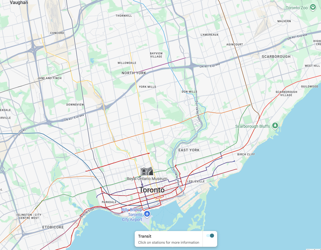
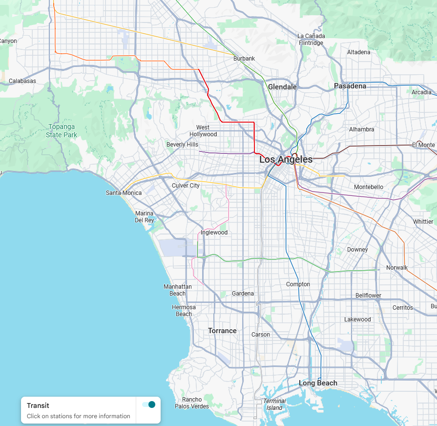
And neither New York nor California is capable of building. Consistency in funding has not led to the formation of a consistent civil service. Single party dominance, with the Republicans choosing to nominate sacrificial lambs like Larry Elder rather than to moderate enough to win the median voter in a wave election, means that there is no need for political appointments, as professionals know in advance what the state’s ideological direction is going to be, and yet agency upper echelons are stacked with politicals and expect subject matter experts to be silent when the politicals and their staff are in the room. Costs in California are not only high but meteorically rising, in San Francisco, in San Jose, and in Los Angeles. In New York, despite real savings from our advocacy for shrinking station size, the projected costs of IBX are unreal and those of the 125th Street extension are full of lard, the savings wasted on deeper stations and ever higher soft cost charges.
American activists keep talking about the need for consistent funding. But where funding in the United States is the most consistent, outcomes are consistently bad, just as they are in the parts of the United States that are one election away from cancellation. This is not just a bad inheritance – the MTA let its in-house expertise go in favor of a consultant-centric system, and MTA CEO Janno Lieber takes credit for having implemented the globally-failed design-build system locally, with essentially all discourse that isn’t coming from us at the Transit Costs Project backing further privatization and SPDVization of project delivery out of a false belief that London and the knowledge of global English-only consultants are worth imitating.
This way, the MTA, with a capital budget of $13 billion a year and no real fear of large cuts, delivers subway extensions at a rate of about one new underground station per 5 years, 9 stations equipped with elevator access per year, and sporadic commuter rail interventions that never actually improve speed or convenience. Consistent funding is not going to make it better, because its funding is already consistent and yet it is run by politicals who look down on subject matter experts and who have New York solipsism and react acerbically to being told they need to learn, and so it can’t build, only manage its own decline.