Cars-and-Trains Urbanism
For all of the rhetoric about banning cars and the inherent conflict between public transportation and private automobiles, the dominant political view of urbanism in large chunks of the world is the cars-and-trains approach. Under this approach, cities build extensive infrastructure for cars, such as parking, wide arterials, and some motorways, as well as for trains, which are as a rule always rapid transit, never streetcars. In the midcentury developed world this was the unanimous view of urban development, and this remains the preference of mainline center-right parties like CDU, the French Republicans, and the British and Canadian Tories; various 1960s urbanist movements with roots in the New Left arose in specific opposition to much of that mentality, which is why those movements are usually NIMBY in general.
In the post-consensus environment of political conflict in most issues, in this case between auto- and transit-oriented urbanism, it’s tempting to go back to the midcentury elite consensus as a compromise, and call for making cities friendly to both transit users and drivers. This is attractive especially to people who hope to defuse culture war issues, either because they identify as political moderates or because they identify as socialists and have some nostalgia for the Old Left. However, this kind of urbanism does not really work. While a destination can sometimes be friendly to both drivers and transit users, the city overall cannot be; the majority of the points of interest in a successful transit city are hostile to cars and vice versa.
Moreover, this cars-and-transit failure is not just historical. It keeps going on today. Middle-income countries waste vast sums of money on building two separate transportation networks that do not work well together. The United States, too, has adopted this mentality in the cities that are building new light rail lines, resulting in large urban rail systems whose ridership is a rounding error since most of the city isn’t oriented around public transportation.
What is cars-and-trains urbanism?
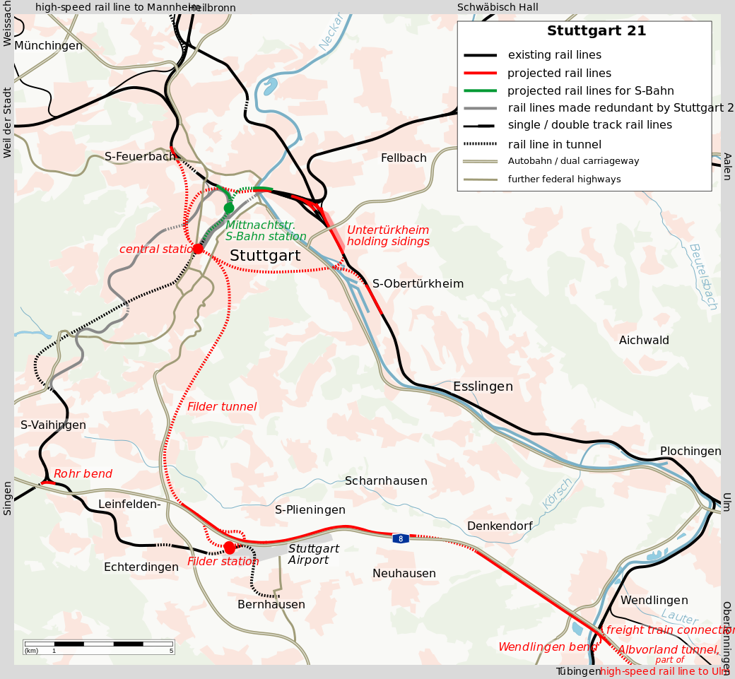
Postwar West Germany built a number of subway networks in its large cities, such as Munich, Frankfurt, Cologne, Dortmund, Essen, and Hanover. With the exception of Munich and Nuremberg, these are subway-surface systems, in which the trains are underground in city center but run in streetcar mode farther out. For the most part, these systems were built with the support of the driver lobby, which wanted the streetcars out of city center in order to be able to drive more easily, and once those systems opened, the cities dismantled the streetcars. Most of West Germany thus eliminated the streetcars that did not feed into the tunnels, just as the US eliminated nearly all of its streetcars except the ones that were part of a subway-surface system in Boston, Philadelphia, and San Francisco.
In the United States, such development only happened in San Francisco, where Muni buried the main streetcar trunk in conjunction with the construction of BART along the same alignment on Market Street. More commonly, cars-and-trains urbanism led to the development of park-and-rides in the suburbs. An early example is the Green Line D branch in Boston, designed for suburban commuters rather than urban residents using the line for all purposes and not just work. Subsequently, light rail lines have been built with park-and-rides, as have full rapid transit systems in the suburb of Atlanta, Washington, and San Francisco. In the same period, American mainline rail networks evolved to be car-oriented, replacing city center stations with park-and-rides for commuter as well as intercity rail uses.
American cars-and-trains development was not without conflict. The auto lobby opposed trains, believing buses were cheaper; top civil servants in what is now the Federal Highway Administration advocated for bus lanes to create more capacity at the peak into city centers such as Washington’s. However, the trains that were built in this era followed the same mentality of creating more peak capacity in areas where widening roads was too expensive because of high city center land prices.
In the US as well as in Europe, and nowadays in developing countries, construction of rapid transit in the biggest cities and high-speed rail between them is paired with large highway systems for everything else. When the Tories won the 2010 election, they proclaimed the end of Labour’s so-called war on motorists, but maintained their support for Crossrail in London and High Speed 2 from London to the major provincial cities. And in Toronto, even Rob and Doug Ford, for all their anti-walkability demagogy, support subways, just not at-grade streetcars that would take lanes away from cars.
How does cars-and-trains transportation fail?
In the United States, public transportation is divided into three groups. There is transit-oriented urbanism, which covers about half to two thirds of New York, and very small segments of Chicago, Boston, San Francisco, Washington, and Philadelphia. There are people riding public transportation out of poverty. And there is cars-and-trains behavior, common in the outer parts and suburbs of cities with urban rail networks. In the major American metropolitan areas with urban rail other than New York, people who commute by public transport actually outearn people who drive alone, because so much transit ridership consists of rich suburban commuters. Because of the weight of those commuters and because American metro areas with public transportation are richer than the rest of the country, the national gap in income between drivers and transit commuters is small and shrinking. And yet, fuel consumption as a proportion of overall consumption is constant around 3.5% in the bottom nine deciles.
In other words: the United States has spent a lot of money on attracting the rich to public transportation, and has succeeded in the sense that transit commuters earn about the same as car commuters, but the rich still drive so much that they consume as much fuel as the poor relative to their total spending. This is not because rich people inherently like driving – rich Manhattanites don’t drive much. This is because the postwar American transportation network does not provide adequate public transportation for non-commute trips. Off-peak frequencies are low, and service to destinations outside city centers is weak.
In Germany, the politics of cars-and-trains infrastructure is still around. A few months ago, when some Berlin Greens proposed congestion pricing, CDU came out in opposition, saying that without park-and-rides, how can people be expected to use the U- and S-Bahn? Walking or biking to the station is apparently not possible in outer Berlin, per CDU.
How does cars-and-trains urbanism fail?
The problem with cars-and-trains urbanism is not just about lack of frequency. The off-peak frequency on some of the American light and heavy rail systems serving park-and-rides is not terrible for regional rail – trains come every 10 or 12 or 15 minutes. But the development repels non-commuter uses of the system. The stations are surrounded by parking rather than high-density office or residential development. People who already own cars will drive them wherever it’s convenient: they’ll shop by car since retail has no reason to cluster in the central business district, and they’ll probably drive to jobs that do not have such agglomeration benefits as to have to be in city center.
That is not just an American problem. Western Europe, too, has built extensive infrastructure to extend auto-oriented postwar suburbia into older city centers, including motorways and parking garages. If the streets are narrow, then the sidewalks may be extremely narrow, down to maybe a meter in Florence. This encourages anyone who can afford to do so to drive rather than walk.
If there is no transit-oriented core to the city, then the result is a standard auto-oriented city. Examples include Los Angeles and Dallas, both of which have large urban rail networks with approximately no ridership. In the three-way division of American transit ridership – New York (and to a small extent a handful of other city cores), suburban commuters, very poor people – Los Angeles’s transit ridership is mostly very poor, averaging half the income of solo drivers. Public transit construction in this case has been a complete waste without policies that create a transit city, which must include both liberalization (namely, zoning liberalization near stations) and coercion (such as higher car and fuel taxes and removal of parking).
If there is a transit-oriented core, then the result cleaves the metro area in two. To people who live in the transit zone, the auto-oriented parts are inaccessible, and vice versa. A few places at the boundary can be crosshatched, but the city itself cannot be entirely crosshatched – the sea of single-family houses in the suburbs is not accessible except by car, and transit-oriented cities have no room for the amount of parking or road capacity required for auto-centric density.
Does rapid transit mean cars-and-trains?
No. In opposition to the postwar elite consensus and the center-right’s support of cars-and-trains urbanism, the New Left tends to be hostile to rapid transit, on the theory that it’s only good for cars and that tramways with dedicated lanes are as good as subways. This theory is hogwash – enough cities built metros before mass motorization in order to avoid streetcar and horsecar traffic jams – but it’s attractive to people who associate subways with the failings of CDU and its equivalents in other countries.
Paris provides a positive example of rejecting cars-and-trains urbanism while building rapid transit. Postwar France was thoroughly cars-and-trains in its mentality, but 21st-century Paris is the opposite. Mayor Anne Hidalgo has narrowed roadways and removed freeways in order to make the city pedestrian-friendlier. Ile-de-France is expanding its tramway network, but it’s at the same time investing enormous amounts of money in expanding the Metro and RER. I do not think there is any city outside China with more underground route-km built than Paris in 2000-30 – Indian metros are mostly above-ground. In my under-construction database, which largely omits China and Russia due to difficulties of finding information in English, Grand Paris Express is 10% of the total route-length.
Postwar Japan is another example of rapid transit without cars-and-trains typology. Unlike present-day Paris, which is ideologically leftist and green, Japanese development has been in an ideological environment similar to the center-right elite consensus, called dirigism in France. Nonetheless, Tokyo’s motorway network is not large relative to the city’s population, and suburban development has been quite dense and rail-oriented. The private rail operators have preferred to build high-density housing at their suburban stations to encourage more ridership, rather than park-and-rides.
It’s one or the other
Drivers are most comfortable on high-speed arterial streets with generous shoulders and setbacks, with parking right next to their destinations. This encourages dispersal – just try building parking for all the jobs of Midtown Manhattan or Central Tokyo on-site. Pedestrians would need to walk long distances along noisy, polluted streets and cross them at inconvenient signal times or places or risk being run over. Public transit users fare little better, as they turn into pedestrians at their destination – and what’s more, public transportation requires destinations to cluster at a certain density to fill a train at a usable frequency.
This situation works in reverse in a transit city. On a robust public transportation network, the most desirable locations are in the very center of the city, or at key interchanges. Usually the density at those nodes grows so high that drivers have to contend with heavy traffic. Widening roads is not possible at reasonable cost in dense centers of economic production; the very reason for cars-and-trains urbanism as opposed to just 100% cars is that it was never economic to build 20-lane highways in city centers.
On the street, too, conflict is inevitable. A lane can be shared, which means dominated by cars so long as a car with one person inside it gets the same priority as a bus or tram with 40; or it can be dedicated to buses and trams, which means cars have less space. And then there are pedestrians, who need adequate sidewalks even in historic city centers where the street width from building to building is 10 meters rather than the more modern 30.
Defusing conflict is attractive, but this is not possible. A city cannot be friendly to drivers and to non-drivers at the same time. The urban designs for the two groups are too different, and for the most part what most appeals to one repels the other. Trying to build two redundant transportation networks may be attractive to people who just like the idea of visible development with its construction jobs, but both will end up underused and overly costly. Good transit has to convert drivers into non-drivers – sometimes-drivers are too expensive to serve, because the urbanism for them is too peaky and expensive.
As a corollary of this, political structures that have to give something to drivers too have to be eliminated if public transportation is to succeed. For example, infrastructure funding formulas that give set amounts of money to the two modes, like the 80% cars, 20% transit split of American federal funding, are bad and should ideally be reduced to 0 if the formula itself cannot be changed; the investment in highways is making public transportation less useful, both through direct competition and through incentives for auto-oriented development. The same is true of schemes that are really fronts for highway widening, like some bus rapid transit in the US and India. Good transit activists have to oppose these, even if it means less money in overall spending, even if it means less money in spending specific for some public transit programs. The cost of highways is just too high to try to maintain a culture truce.
 .
.

